The Benefits of Hyperspectral Data Imaging for Mine Mapping
Hyperspectral data imaging is revolutionising mine mapping, and will only continue to improve in the future. The benefits far outweigh the costs, especially when compared to traditional on-foot greenfield exploration.
If you’re looking for a way to improve the efficiency and profitability of your mine mapping operations, read this guide to the benefits of hyperspectral data imaging.
What is Hyperspectral Data Imaging?
Hyperspectral imaging (HSI) captures a wide spectrum of light beyond the primary colour range. Every pixel of an image can be identified due to the spectral band of the light that it emits, which acts like a signature.
Different minerals will emit different light signatures, which allows the mineral composition to be identified upon later analysis.
Hyperspectral data imaging is non-destructive. Where other analysis methods need to agitate or excite physical samples, HSI simply needs to be able to take images of a sample area.
UAV-Mounted Devices
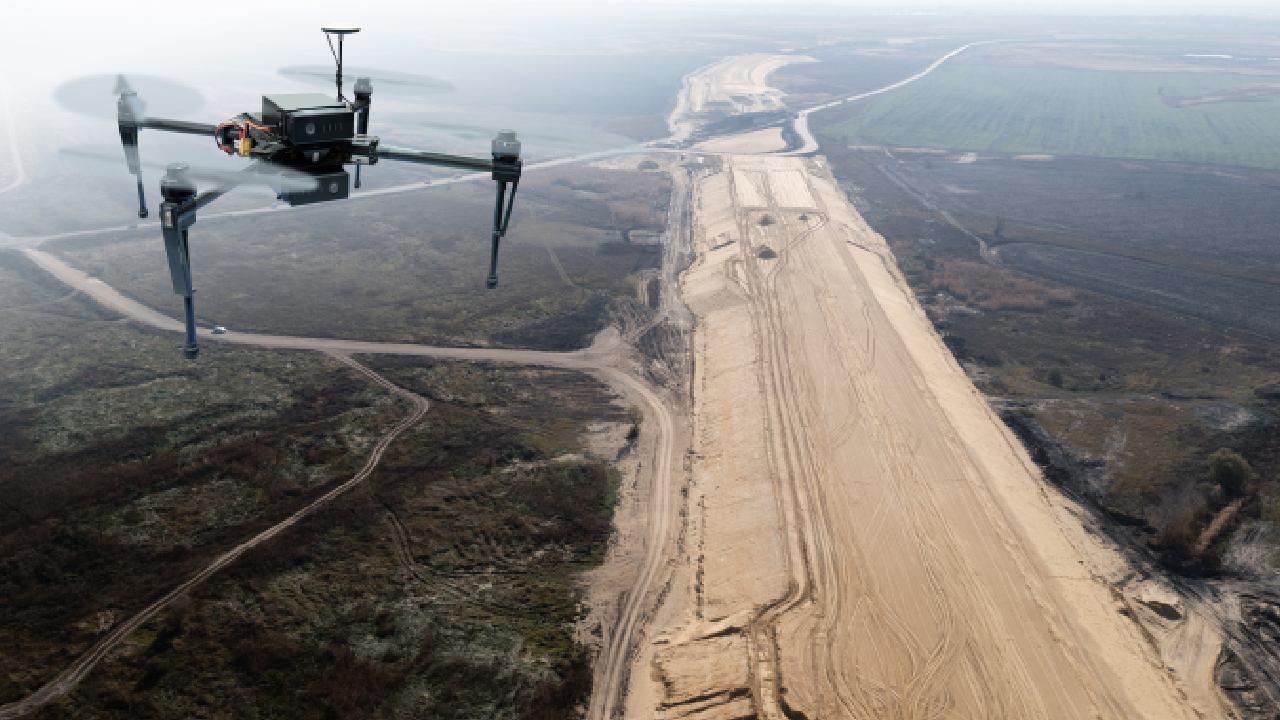
HSI doesn’t require physical samples, which allows it to be much more scalable and mobile than alternative testing methods. For example, many hyperspectral imaging devices can be mounted on UAVs. This makes mapping large swathes of land affordable and effective.
The Benefits of Hyperspectral Data Imaging for Mine Mapping
The benefits of hyperspectral data imaging for mine mapping speak for themselves. You can improve almost all areas of your mine mapping without any drawbacks.
More Detailed Data
When taking physical samples, you can get a highly accurate analysis of the sample itself, but you then need to rely on extrapolation to make assumptions about the rest of the survey area. These assumptions are educated guesses, and there is always an element of risk that the sample will be an anomaly.
HSI doesn’t need to rely on chance. It can capture wide arrays of data that will confirm the presence of your target minerals throughout the site, not just in small sections.
Saves You Time
Not only is hyperspectral data imaging more detailed, it’s also much quicker than physical testing methods. For conclusive analysis of an entire site, physical samples would need to be taken as a cross section, which takes time and labour.
With HSI, especially when aerially captured on a UAV, definitively capturing data over vast distances is far more time-efficient.
Saves You Money
In business, time is money. That means saving time with hyperspectral data imaging also saves you money. Sending explorers is expensive. You have wages, equipment, vehicles and insurance to pay, and that’s only if everything goes well.
As landscapes get more rugged, equipment failures or time spent navigating to a site can quickly ramp up the expenses.
With HSI, you can eliminate these costs. Drone technology is constantly improving, especially now that it is being used in serious capacities for large industries like mining. It is much cheaper to pay for a drone and an operator to conduct long-range data capture, than it is to pay for explorers to be in the field for potentially days at a time.
Less Costly Unsuccessful Explorations
The cost of unsuccessful explorations is two-fold. You lose the time you could have spent on a successful exploration, and you also lose your investment.
With HSI, you are far less likely to overcommit to a bad prospect, because you can achieve a more holistic capture of the data in a shorter period of time. That way you can decide early on if a prospect is worth further analysis or not.
Safer Exploration
While physical exploration is always becoming safer, there are still risks. This is especially true in extremely isolated or remote areas of Australia. Some mining sites can be very difficult to access, especially if the terrain around them is particularly rugged.
With hyperspectral data imaging, the bird’s eye view afforded by UAV technology lets you safely map difficult areas without having to put someone in harm’s way.
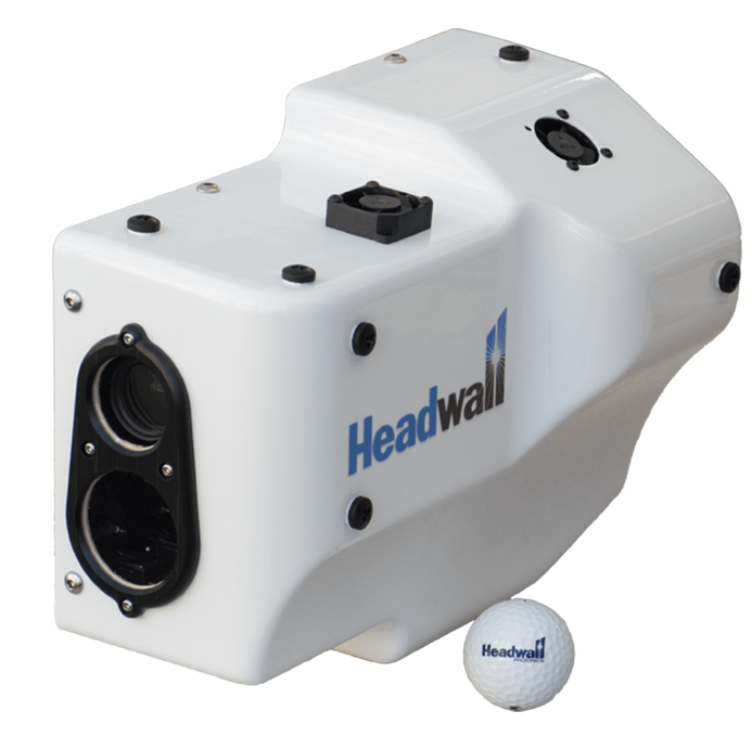
Headwall Photonics Class-Leading Hyperspectral Data Imaging Devices

The leading hyperspectral data imaging devices on the market are made by Headwall Photonics. They offer a range of sizes and calibration groupings for different industries.
For mining, the Hyperspec VNIR – SWIR Co-Aligned uses a patented aberration-corrected design that provides very high spectral and spatial resolution with stable measurement accuracy.
Its broadband range of 400-2500 nm makes it ideal for mine mapping, along with the ability to mount it on to a UAV.
If you’d like to purchase a Hyperspec VNIR – SWIR and transform the profitability of your mine mapping operations, get in touch with Portable Analytical Solutions today.
We supply Headwall Photonics products, as well as a range of other mining devices. For more details about PAS, visit our website.
