Environmental Remote Sensing
High spectral resolution for field and satellite remote sensing analysis.

Water Quality
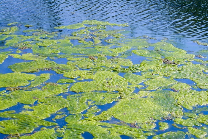
Using a combination of field and satellite remote sensing methods, oceanographers, limnologists and other environmental and marine researchers can perform thorough assessments of vast waterways, glaciers and wetlands.
Full range
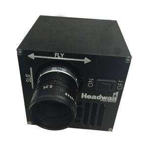
Only PAS can guide you to the solution you require, providing sales and product support, training and upgrades as you implement leading Headwall VNIR technology.
- Conduct both airborne and stationary spectral analysis
- Imaging performance is optimised with Headwall’s patented, aberration-corrected sensor
- Based on holographic diffraction grating, customised for specific remote sensing demands
Products
Environmental Remote Sensing

