Airborne Hyperspectral Imaging
What Is Airborne Hyperspectral Imaging?
Airborne Hyperspectral Imaging, also known as Remote Sensing, involves gathering and analysing data across diverse segments of the electromagnetic spectrum utilising an aerial platform like a drone.
This advanced technology combines high-resolution imaging with detailed spectral data to provide a comprehensive view of landscapes, ecosystems, and materials.
This enables the recognition of objects and substances by their distinctive attributes, often referred to as their “spectral fingerprints.”
Why Do We Use Airborne Hyperspectral Imaging?
Airborne hyperspectral imaging has the ability to provide a level of detail that traditional satellite imagery cannot match.
This technique provides insights beyond what we can see, helping to find materials and occurrences that are normally hidden.
Researchers and professionals in fields like agriculture, geology, environmental science, and archeology rely on airborne hyperspectral imaging to obtain a comprehensive understanding of their subject matter.
Common Airborne Hyperspectral Imaging Applications
How Does Airborne Hyperspectral Imaging Work?
Airborne hyperspectral imaging involves the use of specialised sensors mounted on drones or aircraft to capture a multitude of narrow and contiguous spectral bands.
These sensors record the electromagnetic energy reflected or emitted by the surface under investigation. This data is then processed to create a hyperspectral image, which contains both spatial and spectral information.
By analysing the unique spectral signatures of different materials, researchers can identify and map various elements, compounds, and features across a landscape.
Spectral Bands
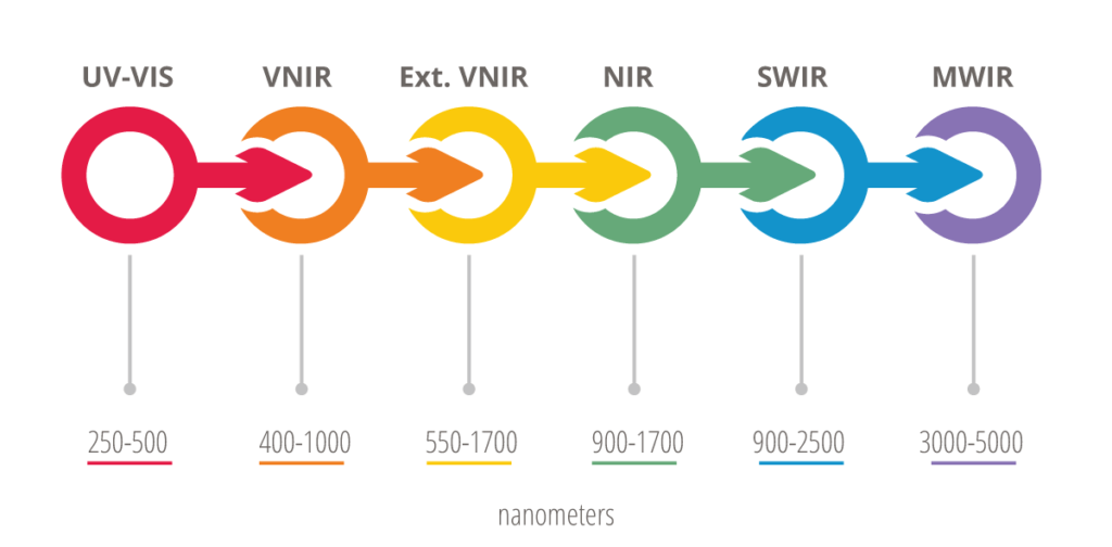
Unlike traditional imaging methods that capture only a few specific bands of the electromagnetic spectrum (such as red, green, and blue), airborne hyperspectral imaging divides the spectrum into numerous narrow and contiguous bands. These bands cover wavelengths from the visible spectrum to the infrared and beyond.
Distinctive Signatures
Different materials interact with electromagnetic energy in distinct ways across the spectrum, creating unique spectral signatures. Hyperspectral imaging captures data across multiple bands, enabling the identification and differentiation of materials based on their spectral characteristics.
Sensor System
Airborne hyperspectral imaging systems consist of specialised sensors mounted on aircraft or drones. These sensors typically include a spectrometer that dissects incoming light into its various wavelength components and a detector that records the intensity of light in each spectral band.
Data Collection
The airborne platform flies over the target area while the hyperspectral sensor collects data. For each point on the ground, the sensor records the intensity of light across multiple spectral bands.
Data Processing
Due to the complexity of the collected data, processing techniques are applied to calibrate, correct, and enhance the raw information. Corrections account for factors like atmospheric interference, sensor noise, and geometric distortions.
Image Creation
Processed data is combined to generate a hyperspectral image known as a hypercube or data cube. This image contains not only the standard red, green, and blue channels but also numerous additional spectral channels. Each pixel in the image holds an array of spectral information.
Analysis
The hyperspectral image can be analysed to extract valuable insights. Various materials exhibit specific spectral signatures that can be used to identify and map land cover types, mineral compositions, and more. Advanced algorithms and classification techniques are often used to automatically detect and categorize different materials in the scene.
How Airborne Hyperspectral Imaging Can Benefit These Applications:
Precision Agriculture & Farming
Airborne hyperspectral imaging, facilitated by drones and hyperspectral sensors, revolutionises precision agriculture by analysing crop health, nutrient levels, and pest infestations. This technology empowers farmers to optimise yields, allocate resources efficiently, and adopt sustainable farming practices, contributing to enhanced productivity and reduced environmental impact.
Mineral Exploration & Mining
Aerial hyperspectral imaging, transforms mineral exploration by identifying minerals through their unique spectral signatures. This technique enables efficient mapping of mineral deposits, refining resource management strategies, and enhancing mining operations with accurate geological insights.
Environmental Monitoring
The use of aerial hyperspectrual devices, such as drones, aids environmental monitoring including detecting invasive species, evaluating ecosystem health, and tracking land cover changes from an elevated perspective. This contributes to informed decision-making in sustainable resource management and environmental preservation.
Defence & Security
Hyperspectral sensors on aerial platforms play a pivotal role in defence and security applications. They provide remote identification of concealed objects, camouflage, and changes in landscapes, bolstering military operations with essential reconnaissance, surveillance, and border security capabilities.

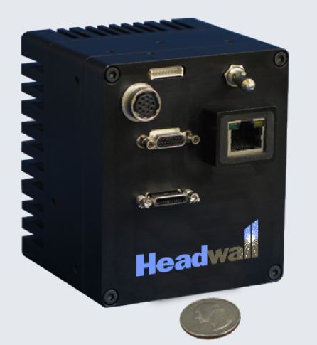
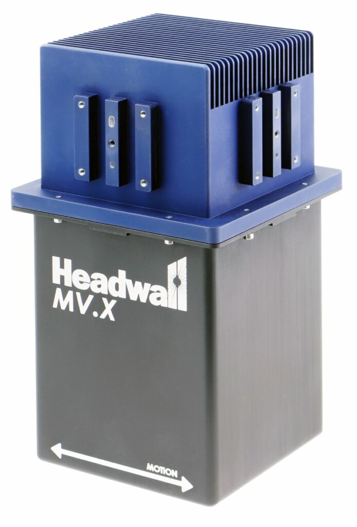
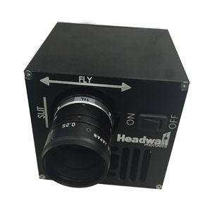
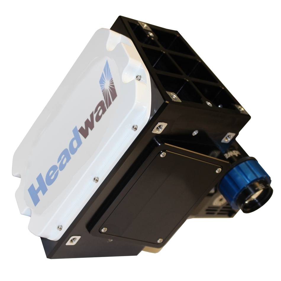
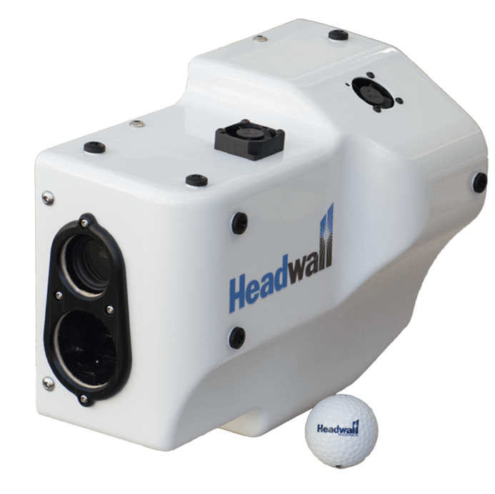
Headwall Airborne Hyperspectral Devices
