

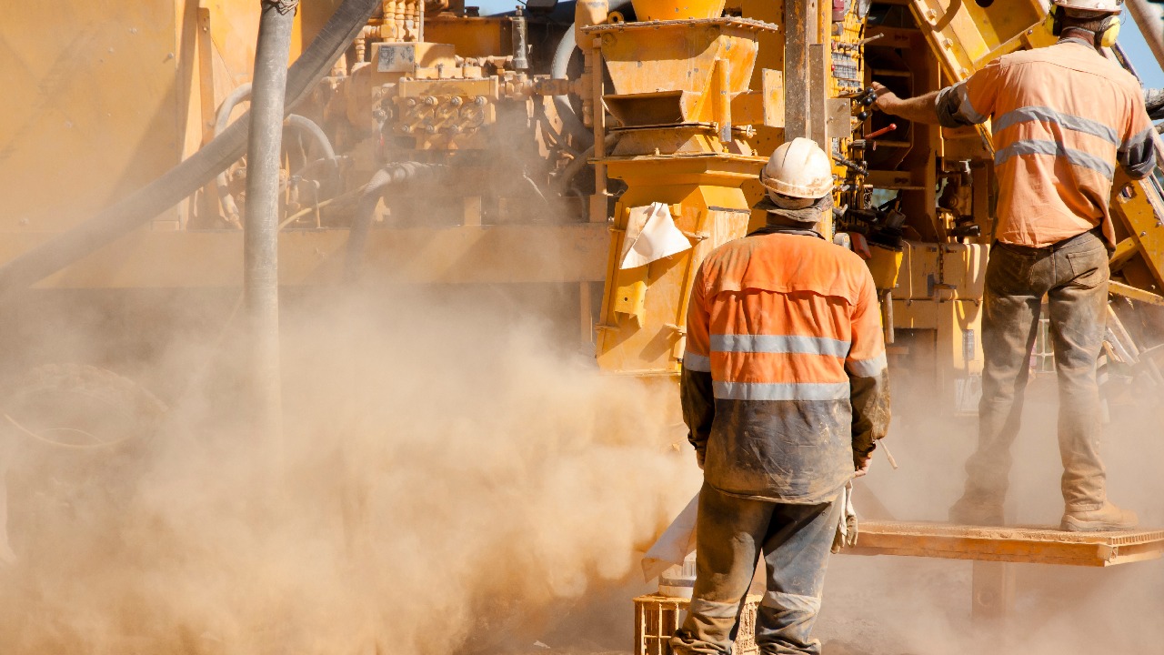
Australia’s exploration sector is having a busy year. Rigs are turning, budgets have lifted, and a strong gold price is drawing capital back into the ground.
Look a little closer at the latest figures, though, and a more nuanced picture emerges. The industry is drilling more metres than it has in some time, but very little of that increase is going into new ground.
On 2 June 2026, the Australian Bureau of Statistics released its March quarter 2026 exploration figures. Mineral exploration expenditure came in at $949.3 million for the quarter, up 16.3% on the same quarter a year earlier. Metres drilled rose 27.6% over the same period.
The interesting part is where that drilling went.
Activity on existing deposits rose 34.4% year-on-year. Activity on new deposits rose 4.7%. On the spending side, exploration of new deposits accounted for $215.7 million, or a little under a quarter of the national total — the lowest greenfields share in the ABS series going back to at least 2018, when it sat above a third.
Gold accounted for $450.9 million of the quarter’s spend, close to half the national total.
So activity is healthy. It is the balance between known ground and new ground that has shifted.
Why the Balance Has Moved
There are some fairly clear reasons for the brownfields tilt. Capital is cautious, investors tend to favour ounces near existing infrastructure, and drilling out a known resource carries less risk than testing a concept. The Association of Mining and Exploration Companies has also pointed to broader funding pressures, noting that proposed capital gains tax changes are already influencing whether some programs proceed.
Alongside those commercial factors sits a more practical one, and it sits closer to the rig.
Exploring genuinely new ground tends to be a mineralogy question before it becomes a drilling question. Across much of the Australian continent, prospective geology sits under cover or beneath a deeply weathered profile, which means there is often no obvious visual signal to follow. What there is instead is subtle alteration — changes in the type and composition of minerals formed by the fluids that once moved through the rock.
Those changes are the vectors. They help a geologist judge whether the next hole should step 50 metres in one direction or 500 in another. And they are difficult to read reliably by eye, because the minerals involved can look very similar in a core tray or hand sample.
Traditionally, confirming them has meant sending samples away and waiting on laboratory results. That wait is manageable on a well-understood deposit. On an early-stage program, it can mean the rig has moved on before the answer arrives, and the next decision gets made on visual logging and experience alone.
Bonus Resource: Field-based near-infrared analysis is not a new idea. Its scientific lineage runs back further than most people expect, and that history explains a good deal about why the technique has become so dependable: The Fascinating History of NIR: From Discovery to Modern Applications
Elements and Minerals Answer Different Questions
Most Australian exploration teams already carry a handheld XRF analyser, and for good reason. It answers a specific and useful question: which elements are present, and roughly in what concentration.
What it is not designed to tell you is how those elements are arranged into minerals. Alteration vectoring generally depends on that arrangement.
This is where near-infrared spectroscopy comes in. Rather than measuring elemental composition, NIR and short-wave infrared (SWIR) reflectance spectroscopy measure how a material interacts with light across a wide range of wavelengths. Different minerals absorb and reflect that light in characteristic ways, producing a spectral pattern that can be used to identify them.
For exploration teams, this offers a few practical benefits:
- It identifies minerals, not just chemistry. Clays, micas, chlorites and carbonates that appear similar to the eye can often be told apart spectrally.
- It can pick up compositional variation within a mineral. Subtle changes in a mineral’s chemistry can shift its spectral pattern, and those shifts are widely used as vectoring indicators in several deposit types.
- It is non-destructive. The sample is unchanged, so it can be scanned, logged and still sent for assay.
- It is quick. Individual readings take a fraction of a second, which makes it realistic to scan a lot of material.
None of this is unfamiliar territory in Australia. State and territory geological surveys have been generating hyperspectral drill core data for close to two decades through the AuScope National Virtual Core Library, now the largest publicly accessible drill core mineralogical database in the world. The technique is well established. What has changed is that it no longer needs to sit in a core library to be useful.
Bringing the Spectrometer Closer to the Rig
Portable Analytical Solutions is the Australian distributor for Spectral Evolution, a manufacturer of field-portable and laboratory spectroradiometers used in geology, mining, environmental research and industrial analysis around the world.
The exploration instruments in the range are the oreX series. All three cover the full 350–2500 nm range and share a design approach built around working in the field: solid-state optics with no moving parts, rugged anodised aluminium housings, and a metal-sheathed fibre-optic cable that can be replaced on site rather than returned to the manufacturer.
- oreXpress — The general-purpose option, suited to outcrop work, hand samples, RC chips and core-shack logging. PAS reports one documented case in which using the oreXpress reduced core logging time from six hours to two.
- oreXplorer — Offers higher resolution and sensitivity than the oreXpress, which helps when separating minerals with overlapping spectral features. It uses single-button operation with automatic dark-current correction and exposure adjustment, so readings are less dependent on who is taking them.
- oreXpert — The highest-resolution field spectrometer in the range, intended for separating closely overlapping features and picking up trace minerals in mixed samples.
All three work with Spectral Evolution’s EZ-ID™ mineral identification software, which compares each scan against established reference libraries and returns weighted match results. Teams can also build and import libraries of their own. The aim is not to remove the need for spectral expertise, but to make reliable identification available to the whole team rather than only the person who can read a spectrum.
The wider Spectral Evolution range extends beyond exploration into environmental and agricultural fieldwork with the NaturaSpec Plus, NaturaSpec Ultra, PSR-1100f and RS-3500, and into laboratory work with the CalibraSpec 4500A and CalibraSpec 6500A.
Insight: Field data is only as useful as its provenance. The Sensaprobe™ with Built-In Camera is designed to help with this, connecting to compatible Spectral Evolution spectroradiometers via Bluetooth and recording details such as target distance, probe angle, GPS position and a photograph of the scanned area alongside each measurement.
What It Can Change on an Early-Stage Program
It is worth being clear that field spectroscopy does not replace the laboratory. Assay remains the measure of grade, and it should.
What on-site analysis can change is the order in which things happen. Rather than drilling, sampling, waiting and then deciding, a team can scan on site, build a mineralogical picture while the rig is still on the pad, and use that picture to help decide what genuinely needs to go to the lab.
Teams using field NIR commonly report benefits along these lines:
- Alteration information available sooner, so vectoring decisions can keep closer pace with the drilling program
- A more targeted approach to assay, sending fewer but better-chosen samples
- Faster core logging, freeing geologists for interpretation rather than description
- A digital spectral record, since each scan can be saved and revisited later as new questions arise
- More consistency across a team, because automated matching produces comparable results regardless of who is operating the instrument
That last point is worth dwelling on. Core libraries around the country hold legacy drill core that is being rescanned today for minerals nobody was especially interested in when the hole was originally drilled. Building a spectral record as you go is a reasonable hedge against the questions a program has not thought to ask yet.
From Metres Drilled to Ground Understood
The March quarter figures are not bad news. Rising expenditure and rising metres point to a sector in good health. But a 34.4% increase in drilling on existing deposits against a 4.7% increase on new ones does suggest an industry leaning towards certainty, at a time when Australia is being asked to find the next generation of gold, copper and critical mineral deposits.
Closing that gap is unlikely to come from drilling more. It is more likely to come from knowing more before, during and immediately after each hole — and mineralogy is where a good deal of that knowledge sits.
The June quarter figures are due on 31 August. Whichever way they move, the underlying question is much the same: how well is each metre being drilled understood?
If you’d like to talk through where field NIR might fit in your exploration workflow, or which instrument in the Spectral Evolution range suits your program, get in touch with the PAS team. We also offer manufacturer-accredited training and rental arrangements on selected instruments.
Sources: